Drone photography has revolutionized the way we capture the world from above. This comprehensive guide covers everything from the history of aerial imaging to advanced techniques for professional drone photographers.
History of Drone Photography
The Pioneering Spirit of Nadar
The art of aerial photography with drones has roots long before modern drone photography existed. Gaspard-Félix Tournachon, better known as Nadar, was a French photographer, caricaturist, and balloonist in the 19th century who pioneered aerial perspectives. In 1858, Nadar captured the first aerial photograph from a tethered balloon over the French village of Petit-Becetre.1
Though these initial photographs haven't survived, they marked the beginning of aerial photography and laid the groundwork for the drone photography revolution we experience today.
The "New Vision" Movement in Photography
The early 20th century witnessed a shift in photographic perspectives through the "New Vision" movement. Photographers like László Moholy-Nagy explored unconventional angles and perspectives, including aerial shots, extreme close-ups, and bird's-eye views.2 This movement emphasized abstract forms and patterns—a philosophy that deeply resonates with contemporary drone photography aesthetics.
Evolution from Traditional to Aerial Photography
From Nadar's balloon expeditions to the "New Vision" perspectives, aerial photography continued to evolve through military reconnaissance during the World Wars, followed by satellite imaging and commercial flight advancements. The democratization of drone photography in the 21st century has made aerial imaging accessible to hobbyists, artists, and professionals without requiring aircraft or helicopters.
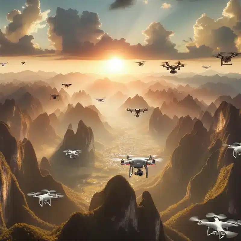
Introduction to Drone Photography
What is Drone Photography?
Drone photography is the art and science of capturing still images and videos using an unmanned aerial vehicle (UAV). Unlike traditional photography constrained by the photographer's physical location, drone photography enables elevated vantage points that reveal patterns, shapes, and compositions invisible from ground level.
According to the Drone Industry Association, the commercial drone market has grown exponentially, with photography representing one of the largest application sectors.3
The Rise of Drones in Modern Photography
The surge in drone photography popularity stems from several factors:
- Technological Advancements: Modern drones feature high-resolution cameras, 3-axis gimbal stabilization, and intelligent flight controls. Industry leaders like DJI and Autel Robotics continue pushing technological boundaries.
- Accessibility: Drone photography has democratized aerial imaging, making it accessible to both hobbyists and professionals at various price points.
- Creative Freedom: Drones offer unprecedented creative freedom for exploring unique angles, elevations, and photographic compositions.
- Diverse Applications: From real estate photography and wedding coverage to landscape artistry and wildlife documentation.
Benefits of Using Drones for Photography
Unique Perspectives: Capture bird's-eye views, top-down shots, and sweeping panoramas that add exceptional depth to your portfolio.
Cost-Effective: Compared to chartering planes or helicopters, drones provide affordable aerial photography solutions.
Flexibility: Navigate various environments, from urban spaces to expansive natural landscapes.
Safety: Access hazardous or hard-to-reach areas while minimizing photographer risk.
Innovation: Continuous drone technology evolution—from automated flight patterns to obstacle detection—empowers creative boundary-pushing.
Traditional Photography Artists with Aerial-Like Perspectives
Yann Arthus-Bertrand
French photographer Yann Arthus-Bertrand is renowned for his "Earth from Above" aerial photography series. Using helicopters and hot air balloons, he captured stunning landscapes showcasing Earth's beauty and fragility.4
George Steinmetz
George Steinmetz, flying with a lightweight motorized paraglider, has explored and photographed remote regions worldwide. His aerial shots of deserts and agricultural patterns mirror contemporary drone photography aesthetics.
Margaret Bourke-White
Pioneer photographer Margaret Bourke-White captured industrial landscapes from high vantage points throughout the 20th century. Her iconic skyscraper and cityscape images from rooftops and aircraft showcased urban life from elevated perspectives.
Klaus Leidorf
German aerial archaeologist Klaus Leidorf has captured aerial photographs from a Cessna 172 since the 1980s. His work documenting farmland patterns, archaeological sites, and urban structures offers a mesmerizing blend of art and geometry.
Getting Started with Drone Photography
Is Drone Photography Right for You?
Before investing in drone photography equipment, assess whether this medium aligns with your interests:
- Technology Passion: Drone photography blends art with technology, requiring genuine interest in gadgets and flying.
- Desire for New Perspectives: If you're seeking fresh angles beyond traditional photography techniques, drones open new creative worlds.
- Learning Commitment: Mastering drone photography demands patience, practice, and continuous skill development.
Choosing the Right Drone for Your Needs
Best Drones for Beginners
For newcomers, user-friendly, budget-conscious drones like the DJI Mini series or Parrot Anafi offer essential features without overwhelming complexity.
Professional-Grade Drones
Serious photographers and professionals benefit from advanced drones like the DJI Mavic 3 Pro or Autel EVO Lite+, offering superior camera capabilities, extended flight times, and sophisticated features.
Learning the Basics of Flying a Drone
Overcoming Initial Fear
Start in open spaces away from obstacles. Many drones include beginner modes for learning basic controls safely.
Basic Flight Controls and Techniques
Familiarize yourself with your controller's functions—each joystick, button, and setting. Practice fundamental maneuvers: ascending, descending, rotating, and directional movement.
Safety First
The FAA (Federal Aviation Administration) provides comprehensive drone safety guidelines. Key points include:
- Maintain visual line of sight
- Avoid flying near people or animals
- Stay below 400 feet altitude (in the US)5
- Respect no-fly zones near airports and restricted areas
- Follow FAA Part 107 regulations for commercial operations
Integrating Photography Skills
Traditional photography principles remain essential in drone photography:
Post-Processing: Aerial landscapes often benefit from color correction, cropping, and detail enhancement.
Composition: Apply the rule of thirds, leading lines, and framing principles.
Lighting: The golden hours of sunrise and sunset provide optimal lighting conditions.
Choosing the Right Drone for Your Photography Needs
DJI Mavic Mini Series
The DJI Mini series (weighing under 250 grams) offers exceptional portability. In the US, drones under 250g don't require FAA registration for recreational use.6
Specifications:
- 12MP camera with 4K video capability
- 30+ minute flight time
- 3-axis gimbal stabilization
- GPS positioning
Parrot Anafi
The Parrot Anafi features a 4K HDR camera with unique 180° tilt gimbal, enabling distinctive shooting perspectives.
Key Features:
- 21MP photo sensor
- 2.8x lossless zoom
- 25-minute flight time
- Compact, foldable design
Autel EVO Lite Series
Autel's EVO Lite Series caters to serious photographers with advanced features:
- Up to 50MP camera options
- Obstacle avoidance systems
- 40+ minute flight time
- Multiple intelligent flight modes
- Time-lapse and panoramic photography support
Factors to Consider
Camera Quality: Evaluate sensor size, resolution, aperture, and dynamic range. Resources like DPReview offer detailed camera comparisons.
Flight Time: Longer flight durations provide more shooting opportunities.
Range: Extended range enables unique vantage points and greater creative flexibility.
Obstacle Avoidance: Multi-directional sensors prevent collisions and protect your investment.
Regulatory Compliance: Ensure your drone meets local regulations. The FAA's B4UFLY app helps identify flight restrictions.
Mastering the Art of Drone Photography
Understanding Aerial Composition
Aerial composition differs significantly from ground-level photography:
- Embrace Symmetry: Aerial views reveal symmetrical patterns in nature and architecture—use this for balanced compositions.
- Play with Shadows: Elongated golden hour shadows add depth and drama, creating dimensional interest in flat landscapes.
- Use Leading Lines: Roads, rivers, and coastlines guide viewers' eyes through your images naturally.
- Negative Space: Vast open areas in aerial shots can create powerful minimalist compositions.
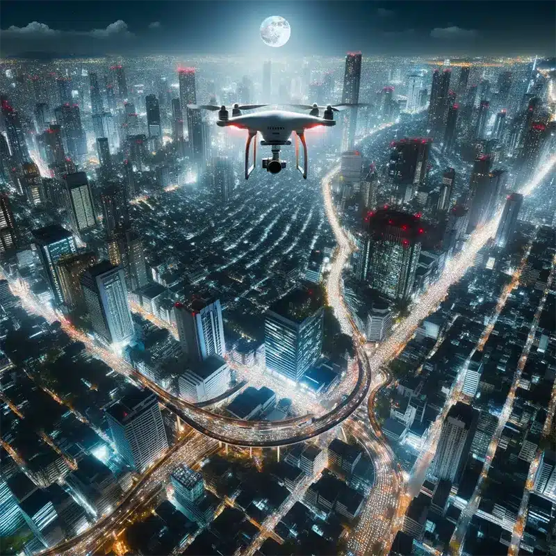
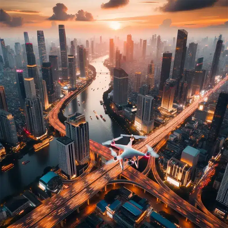
Lighting from Above
Golden Hours: Sunrise and sunset offer soft, diffused light ideal for drone photography, as explained in our golden hour photography guide.
Blue Hour: The period shortly before sunrise or after sunset provides rich, saturated colors and dramatic skies.
Midday Challenges: While harsh, midday sun can reveal underwater features in clear waters or emphasize landscape textures.
Overcast Conditions: Cloudy days provide diffused light, reducing harsh shadows and creating even exposures.
The Photographer's Ephemeris helps plan optimal lighting conditions for drone photography shoots.
Advanced Flying Techniques
The Orbit: Circling a point of interest creates dynamic, cinematic footage showing subjects from all angles.
The Reveal: Start low behind natural barriers, then slowly ascend to dramatically reveal landscapes.
The Tilt-Reveal: Keep the drone stationary while tilting from downward to upward, revealing the horizon progressively.
The Dronie: Fly backward while ascending, keeping the subject centered—popular for portrait photography and travel content.
Post-Processing Aerial Shots
Color Correction: Enhance natural colors using software like Adobe Lightroom or Capture One.
HDR Processing: Combine multiple exposures to balance highlights and shadows in high-contrast scenes.
Perspective Correction: Correct lens distortion and perspective issues common in wide-angle drone cameras.
Panorama Stitching: Manually stitch images in Adobe Photoshop for ultra-high-resolution panoramas.
Staying Updated with Regulations
FAA Regulations (US): The FAA Part 107 certification is required for commercial drone photography.7 Key regulations include:
- Maximum altitude: 400 feet AGL
- Visual line of sight required
- No night operations without waiver
- Prohibited flight over people without authorization
No-Fly Zones: Check AirHub or UAV Forecast before every flight to identify restricted airspace.
International Regulations: European Union drone operators should familiarize themselves with EASA regulations. Regulations vary by country—always research local requirements.
Privacy Considerations: Respect privacy laws and avoid capturing private properties or individuals without consent.
Monetizing Drone Photography
The Profitability of Drone Photography
The commercial drone services market is projected to reach $63.6 billion by 2025, according to PwC analysis.8
Real Estate: Aerial photography showcases properties comprehensively, with real estate listings with aerial photos selling 68% faster than those without.9
Weddings and Events: Cinematic drone footage adds production value to wedding photography packages.
Commercial Projects: Industries including tourism, construction, agriculture, and filmmaking increasingly rely on professional drone photography services.
Pricing Strategies
Package Deals: Bundle aerial shots with ground photography, video editing, or 3D mapping services.
Hourly vs. Project-Based: Consider project-based pricing for larger assignments, hourly rates for smaller jobs.
Licensing and Stock Photography: License drone images through Adobe Stock, Shutterstock, or specialized aerial stock sites like AirVūz for passive income.
According to ASMP (American Society of Media Photographers), drone photography rates typically range from $150-500 per hour depending on experience, location, and project scope.10
Building a Portfolio
Diverse Shots: Showcase range—landscapes, urban scenes, architecture, and specialized niches like architectural photography.
Personal Projects: Passion projects often produce your most creative work and help differentiate your style.
Online Presence: Maintain an updated website and active profiles on Instagram, Behance, and specialized platforms like Dronestagram.
Legal and Ethical Considerations
Obtain Necessary Licenses: Commercial drone operations require FAA Part 107 certification in the US.
Insurance: Obtain liability insurance through providers like SkyWatch.AI or Verifly to protect against damages.
Respect Privacy: Follow drone photography privacy best practices established by privacy advocates.
Advanced Tips and Techniques for Drone Photography
Mastering Camera Settings
Manual Mode Control: Adjust ISO, shutter speed, and aperture for precise exposure control based on exposure triangle principles.
ND Filters: Neutral density filters from manufacturers like PolarPro or Freewell control light exposure for smoother video and motion blur effects.
RAW Format: Shoot in RAW (DNG) format for maximum post-processing flexibility, as explained in our RAW vs JPEG guide.
Exposure Bracketing: Capture multiple exposures for HDR processing, especially useful in high-contrast aerial scenes.
Creative Techniques in Flight
The Dolly Zoom: Fly backward while zooming in (or vice versa) for cinematic "Vertigo effect" shots.
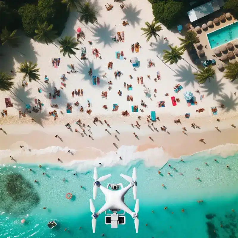
Top-Down Patterns: Directly overhead shots reveal abstract patterns in urban environments, beaches, and natural landscapes.
Fly-Throughs: Navigate tight spaces like archways or between structures for dynamic video sequences.
Hyperlapse: Create time-lapse sequences with drone movement for dramatic environmental changes.
Storytelling with Drone Photography
Every aerial shot should convey narrative or emotional resonance:
Plan Your Narrative: Whether showcasing landscape serenity or urban energy, establish clear storytelling intent.
Sequential Coherence: Organize video or photo series logically to guide viewers through your visual narrative.
Music and Sound Design: For videography, appropriate soundtracks enhance emotional impact and storytelling.
Continuous Learning
Online Resources: Platforms like Drone Pilot Ground School and CreativeLive offer specialized drone photography courses.
Community Engagement: Join forums like DJI Forum or Reddit's r/drones for feedback and knowledge sharing.
Practice Regularly: Consistent flight practice develops muscle memory and creative intuition essential for professional drone photography.
Essential Accessories and Tools for Drone Photography
Protective Gear
Carrying Cases: Invest in waterproof, impact-resistant cases like Pelican cases or manufacturer-specific options from DJI.
Propeller Guards: Protect propellers during minor collisions—particularly important for beginners.
Landing Pads: Portable landing pads from Hoodman provide clean takeoff/landing surfaces.
Flight Enhancements
Extra Batteries: Multiple high-capacity batteries ensure uninterrupted shooting sessions.
Battery Charging Hub: Charge multiple batteries simultaneously for efficient workflow.
Range Extenders: Antenna boosters like those from Titan Atlas extend signal range.
GPS Trackers: Tile or AirTag trackers help locate lost drones.
Camera and Image Quality Boosters
ND Filter Sets: PolarPro and Freewell offer comprehensive filter systems for various lighting conditions.
Lens Cleaning Kits: Maintain optimal image quality with microfiber cloths and lens cleaning solution.
External Monitors: High-brightness monitors like CrystalSky improve visibility in bright conditions.
Data Management
High-Speed SD Cards: Use UHS-II or faster cards from SanDisk or Lexar for 4K video recording.
Portable SSDs: Samsung T7 or SanDisk Extreme portable drives enable field backups.
Cloud Storage: Services like Dropbox, Google Drive, or Adobe Creative Cloud facilitate remote backup and client sharing.
Post-Processing Tools
Editing Software:
- Adobe Lightroom for photo editing
- Adobe Premiere Pro for video editing
- DaVinci Resolve for professional color grading
Drone Mapping Software: Pix4D and DroneDeploy transform aerial imagery into 3D maps and models.
Top Drone Photographers on Instagram
Follow these influential drone photographers for inspiration:
Chase Guttman (@chaseguttman) - Award-winning travel aerials
Dirk Dallas (@dirka) - Founder of "From Where I Drone"
Gab Scanu (@gabscanu) - Australian coastal and landscape specialist
Tommy Clarke (@tommy.clarke) - Vibrant beach and coastal aerials
Renee Lusano (@wrenees) - Adventure and landscape perspectives
Benjamin Everett (@bejamin) - Surreal composite artist
Alex Strohl (@alexstrohl) - Narrative aerial storytelling
Tobias Hägg (@airpixels) - Nature and humanity interplay
Jarrad Seng (@jarradseng) - Portrait and landscape fusion
Karanikolov (@karanikolov) - Abstract top-down perspectives
The Future of Drone Photography
Technological Advancements
Enhanced Camera Systems: Future drones will feature larger sensors, higher resolutions, and improved low-light performance comparable to full-frame cameras.
Extended Flight Times: Solid-state battery technology promises flight times exceeding 60 minutes.
AI Integration: Machine learning will enable automated subject tracking, intelligent composition suggestions, and autonomous flight planning.
5G Connectivity: Real-time 4K streaming and remote operation over vast distances will become standard.
Expanding Applications
Virtual and Augmented Reality: 360-degree drone footage will create immersive VR experiences for photography in tourism and tourism.
Environmental Monitoring: Drone photography will play crucial roles in climate change documentation, as demonstrated by projects from NASA's Earth Observatory.
Journalism: Real-time aerial coverage will provide unique perspectives in news reporting, following guidelines from organizations like NPPA (National Press Photographers Association).
Regulatory Evolution
Urban Air Mobility: Regulations will adapt to accommodate increased drone traffic in urban environments.
Remote ID Requirements: The FAA's Remote ID rule, fully effective in 2024, requires electronic identification for most drones.11
Beyond Visual Line of Sight (BVLOS): Regulations will gradually permit BVLOS operations for qualified operators.
Conclusion: Elevating Your Drone Photography
Drone photography represents a transformative medium blending technology with artistic vision. From breathtaking aerial vistas to intimate top-down compositions, drones have unlocked creative possibilities that redefine contemporary photography.
Mastering drone photography requires more than equipment—it demands passion, dedication, and continuous learning. By understanding photographic fundamentals, respecting regulations, and pushing creative boundaries, photographers can elevate their aerial craft to professional excellence.
As drone technology evolves, so do opportunities and challenges. The drone photography community must navigate these changes responsibly, ethically, and creatively. By doing so, we ensure drone photography remains not merely a tool for stunning visuals, but a powerful medium for storytelling, exploration, and artistic expression.
Whether you're a seasoned professional or enthusiastic beginner, remember: the sky isn't the limit—it's your canvas. Embrace drone photography with curiosity and creativity, and let your vision soar.
References
Additional Resources
Regulatory Bodies:
- FAA Drone Zone - US regulations and registration
- EASA Drone Regulations - European Union guidelines
Educational Resources:
- B&H Photo Learning Center - Drone photography tutorials
- Adobe Photography Tutorials - Post-processing guides
Professional Organizations:
- AUVSI (Association for Unmanned Vehicle Systems International)
- Professional Aerial Photographers Association
Related Articles on This Site:
- Photography Composition Techniques
- Landscape Photography Guide
- Understanding Light in Photography
- The Exposure Triangle Explained
Last Updated: October 2025
Curated Videos
- Professional Aerial Photographers Association. "The History of Aerial Photography." PAPA Archives, 2023. ↩︎
- Moholy-Nagy, László. "Painting, Photography, Film." MIT Press, 1987 (originally published 1925). ↩︎
- Drone Industry Insights. "Global Drone Market Report 2024." DroneII Research, 2024. ↩︎
- Arthus-Bertrand, Yann. "Earth from Above." Harry N. Abrams, 2005. ↩︎
- Federal Aviation Administration. "FAA Part 107 Regulations." US Department of Transportation, 2024. ↩︎
- Federal Aviation Administration. "Recreational Flyers & Modeler Community-Based Organizations." FAA.gov, 2024. ↩︎
- Federal Aviation Administration. "Becoming a Drone Pilot." Commercial Operators Guide, 2024. ↩︎
- PwC. "Clarity from Above: Commercial Applications of Drone Technology." PwC Global Report, 2023. ↩︎
- National Association of Realtors. "Profile of Home Staging." NAR Research, 2023. ↩︎
- American Society of Media Photographers. "ASMP Professional Business Practices." ASMP.org, 2024. ↩︎
- Federal Aviation Administration. "Remote Identification of Unmanned Aircraft." Federal Register, 2024. ↩︎